
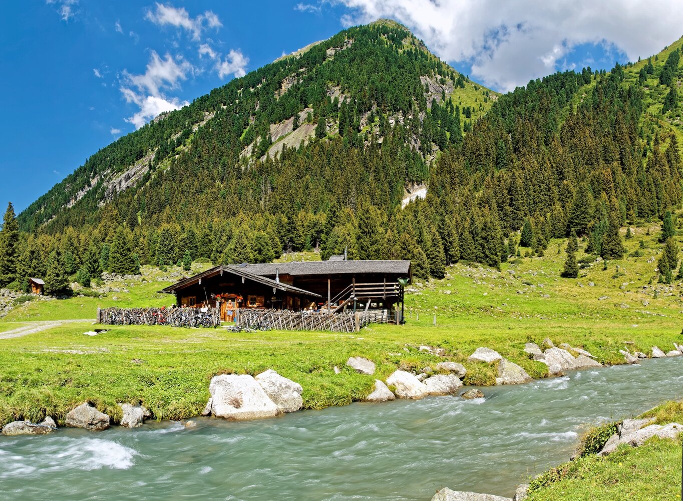
Starting from Krimml, follow the signs to the waterfall. Here the path climbs via the serpentined waterfall path up to the entrance of the Krimmler Achental. From the various viewing platforms, you repeatedly have a breathtaking view of the raging water masses. Between the middle and the upper waterfall stage, the path becomes somewhat gentler. Here you briefly cross the road leading into the Krimmler Achental. Now it goes up the upper waterfall stage. You repeatedly have a great view of the waterfall and at the "staubige Reib" you can feel the spray up close. In the area of the "Oberhafen," the hiking path and the road merge. From here you hike along it into the Krimmler Achental - one of the most beautiful high valleys of the National Park. On the way, you pass several rustic alpine pastures inviting you to rest. At an altitude of 1,631 m, you reach the historic Krimmler Tauernhaus, where you will find, among other things, the oldest guest room of the Oberpinzgau.
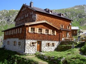
From the Krimmler Tauernhaus, you hike to the valley end of the Krimmler Achental. On this path, you pass several alpine pastures. Shortly after the Innerkees Alm, the hiking trail to the Warnsdorferhütte branches off on the left side. This managed mountain hut offers a good opportunity to rest. From here, you can climb the hut summit - the Gamsspitzl. From its summit, you have a magnificent view of the Hohe Tauern. If you want to take it a little easier, you can reach the ice lake, an impressive glacier lake, in about 15 minutes from the hut.