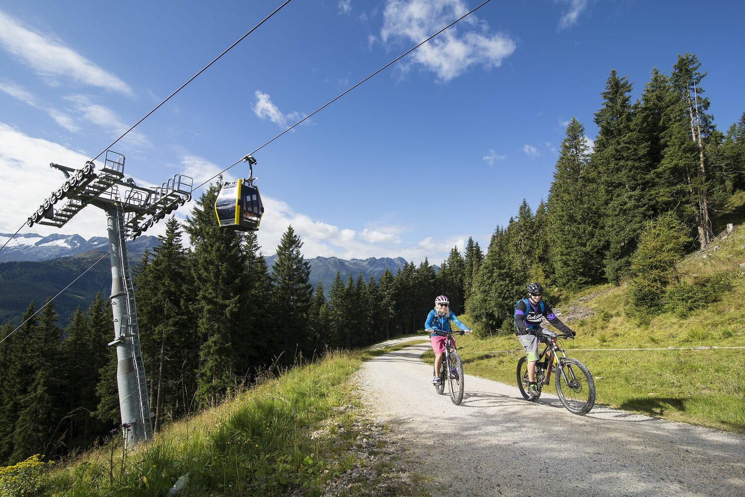
From the starting point you cycle towards Gerlos-Gmünd. At the tennis hall you cross the main road and continue on the forest road (Brennachweg) to the Gerlostalalm. Continue to the right to the Innerertensalm and in serpentines up to the Isskogel. The strenuous ascent is rewarded with a fantastic view of the Zillertal Alps. A varied descent leads down to the Latschenalm, Isskogelbahn mountain station. On the last 4 kilometers caution is advised, as agricultural vehicles are to be expected. Route character: shady forest sections, partly 12% slope, subsoil: gravel, asphalt.
440 - Isskogel
Description
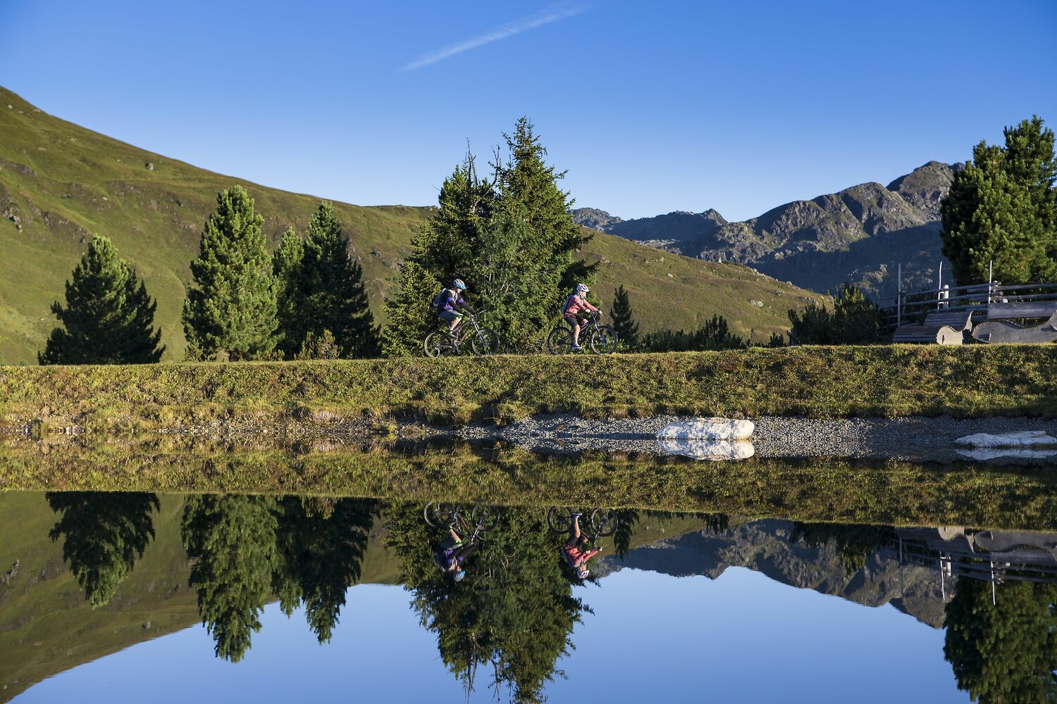
On the King's Tour you cycle to the local mountain of Gerlos. A challenging tour with a fantastic view.