Hiking trails & routes in the Zillertal ARENA
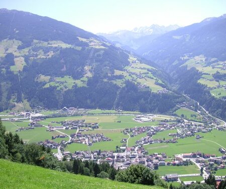
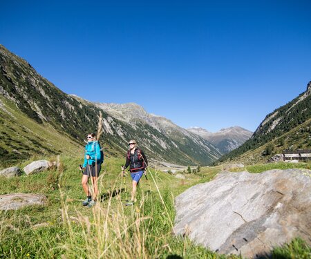
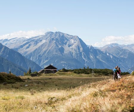
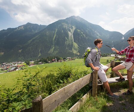
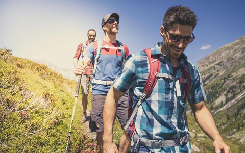
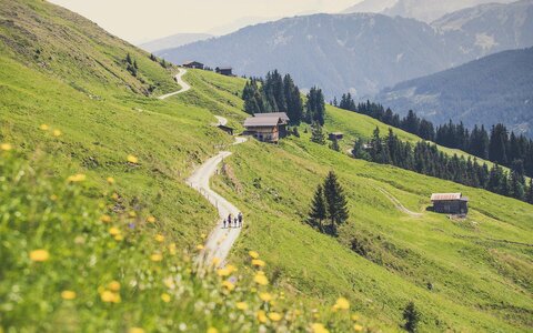
Easy hikes and challenging mountain tours lead over hill and dale through Austria’s diverse mountains. A truly passionate mountaineer knows what is on offer during a hiking holiday in Zillertal and Pinzgau: untouched nature, rustic huts and a well-deserved break from the daily grind. Our numerous accommodation establishments round off the offer with quality.

Kilometres of 
hiking trails 
await you
400
Kilometres of
hiking trails
await you
Summer 
cable cars
4
Summer
cable cars
Varied themed hiking trails
9
Varied themed hiking trails
Refreshments in huts and mountain inns

40
Refreshments in huts and mountain inns
Mountain lakes 
to cool down
3
Mountain lakes
to cool down
Select Filter
Filter
Starting Point
Talstation Rosenalmbahn
End Point
Kaiserstadt
highest point
640 m
Walking time
01:00 h
Route Length
3 km
altitude meters uphill
80 hm
Starting Point
Entrance Krimml Waterfalls
End Point
Krimmler Tauernhaus
highest point
1631 m
Walking time
03:30 h
Route Length
10.35 km
altitude meters uphill
555 hm
Difficulty
Middle
Starting Point
Parking lot Gerlospass valley station
End Point
Alpengasthof Finkau
highest point
1470 m
Walking time
01:30 h
Route Length
5.54 km
altitude meters uphill
34 hm
Starting Point
Berghotel Gerlosstein (1.620m)
End Point
Hainzenberg (
highest point
1780 m
Walking time
03:00 h
Route Length
8.5 km
altitude meters uphill
40 hm
Difficulty
Middle
Starting Point
Wald
End Point
Krimml
highest point
1187 m
Walking time
03:22 h
Route Length
9.55 km
altitude meters uphill
568 hm
Difficulty
Middle
Starting Point
Krimml (1.079m)
End Point
Zittauer Hütte (2169m)
highest point
2713 m
Walking time
08:00 h
Route Length
18.8 km
altitude meters uphill
1627 hm
Difficulty
Hard
Starting Point
Music Pavilion Gerlos
End Point
Music Pavilion Gerlos
highest point
2003 m
Walking time
05:00 h
Route Length
14 km
altitude meters uphill
802 hm
Difficulty
Middle
Starting Point
Isskogelbahn valley station (1.300)
End Point
Isskogelbahn valley station (1.300)
highest point
1474 m
Walking time
02:30 h
Route Length
7.4 km
altitude meters uphill
218 hm
Starting Point
Tourism office Krimml
End Point
Alpengasthof Filzstein
highest point
1640 m
Walking time
01:30 h
Route Length
3 km
altitude meters uphill
564 hm
Difficulty
Middle
Starting Point
Filzsteinalm parking lot
End Point
Plattenalm parking lot
highest point
1690 m
Walking time
00:45 h
Route Length
2.57 km
altitude meters uphill
40 hm

Hiking tips

Weibsbildertour

4 days of fun and a lot of mountain adventures for tough girls. The tour leads to one of the most impressive and beautiful areas of the Zillertal Alps and the Hohe Tauern National Park in four days.

Mannsbildertour

A special mountain adventure for real men! More than 3,000 metres difference in altitude are conquered in four days. The tour leads from the Salzburger Land to Tirol.

Jodelwanderweg Königsleiten

Simple, traditional yodels are waiting for you to sing along to at the various interactive stations.

Arena Panoramatour

Magnificent panoramic hike with spectacular views of Zillertal and the Tux Alps. Starting point Rosenalmbahn Zell or Isskogelbahn Gerlos top station.

Almpromenade Gerlosstein

You can enjoy spectacular nature during a gentle walk along the Almpromenade and also discover many interesting things on the way to the Zillertal Almtribüne viewing platform.

Hohe Tauern Panorama Trail

A panoramic hiking dream that has now come true in Salzburg’s Hohe Tauern National Park holiday region with the “Hohe Tauern Panorama Trail”.

Mountain farms & huts

You can enjoy typical delicacies from the region at the numerous huts, mountain restaurants and snack stations.

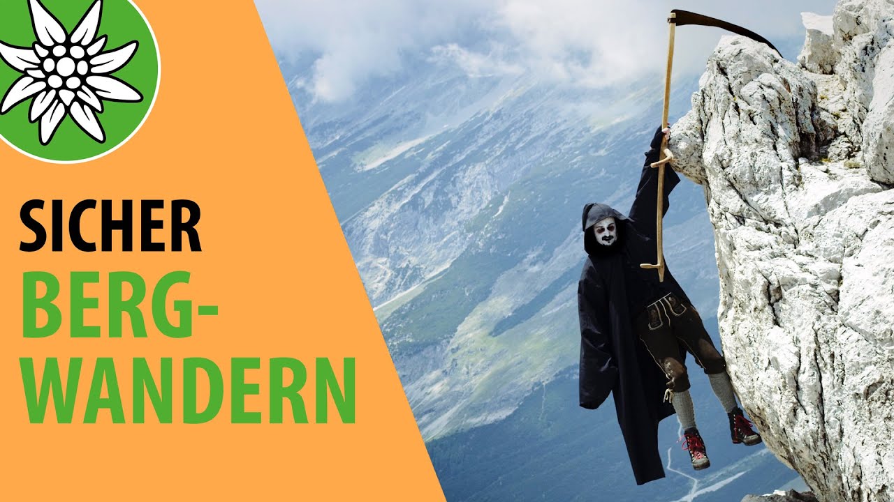
Safe mountain hiking

The Austrian Alpine Club presents useful tutorials and tips for mountain hiking in the “Safe Mountain Hiking” video series with Berti & Gerti
Funty hiking pass

You can find a life-size me everywhere in the Zell, Gerlos, Wald-Königsleiten and Krimml-Hochkrimml region. As a surprise, I’ve come up with something very special for you. Once you have collected 5 of the 11 stamps inside the booklet, you can take me – FUNty home with you as a souvenir from the tourist offices in Zell or Gerlos.

Der gelbe Funty Wanderpass
Der Inhalt kann nicht angezeigt werden.
Bitte akzeptieren Sie die Cookies, um den Inhalt zu laden.