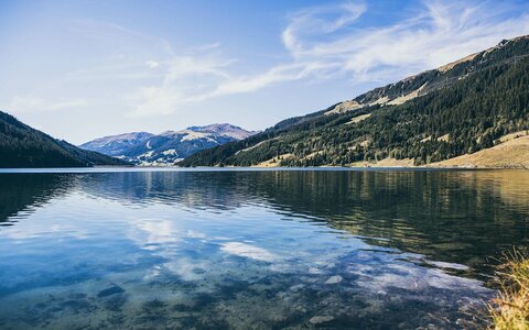
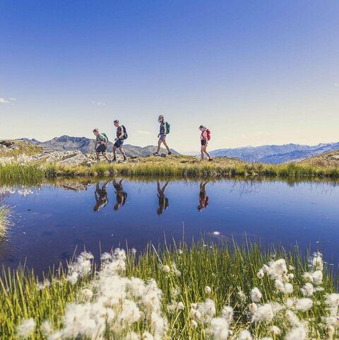
Zell-Gerlos hiking area

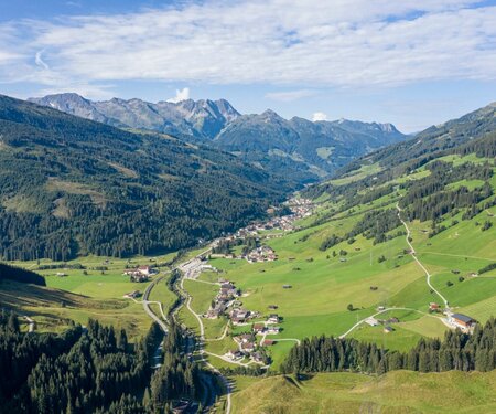
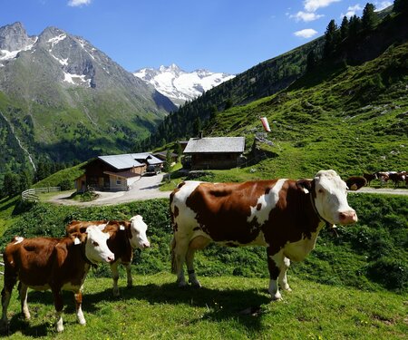
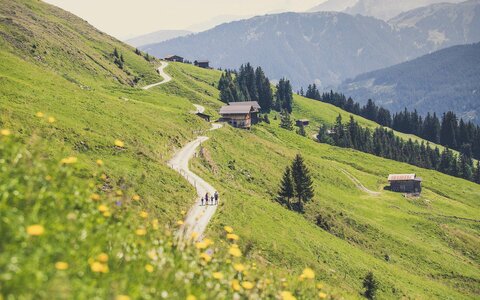
Idyllic alpine pastures, kilometres of hiking trails, vast meadows and culinary delights – this is how the Zillertal Arena presents itself in summer with a wide range of outdoor activities to suit everyone.

Kilometres of
hiking trails
400
Kilometres of
hiking trails
Themed
trails
9
Themed
trails
Kilometres of
Nordic walking trails
136
Kilometres of
Nordic walking trails
Huts &
mountain inns
40
Huts &
mountain inns

Summer holidays
for mountain enthusiasts

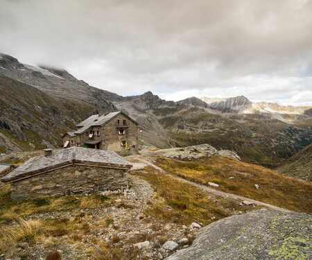
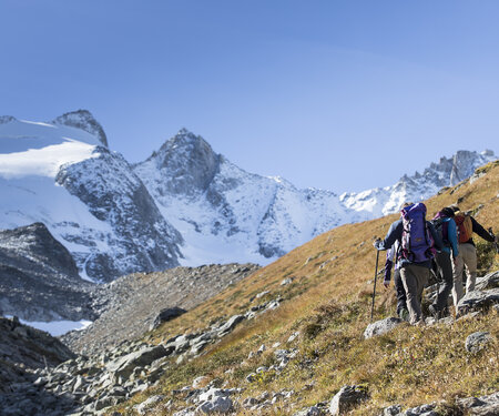
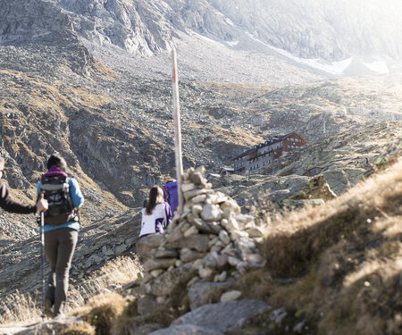
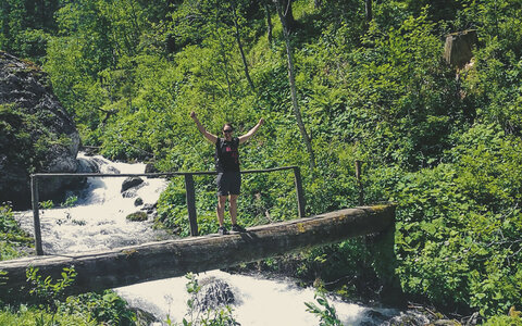
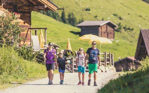
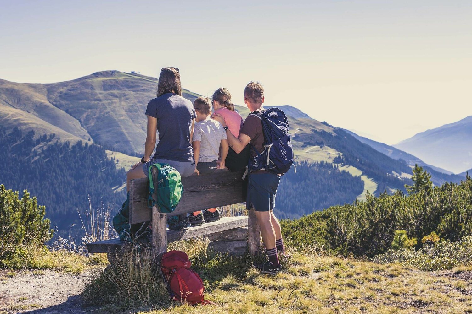
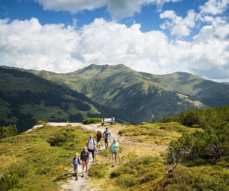
What could be better than exploring the unique and magnificent mountains of Zillertal and Pinzgau on foot? Pack a hearty snack in your rucksack and put on your hiking boots: there are 400 km of hiking trails to explore. Five side valleys stretch out from Gerlos, making hiking a unique experience. During the hikes you will always be accompanied by crystal-clear, quietly babbling brooks all the way to the end of the valley.
CABLE CAR OPERATING HOURS
SUMMER PRICES & RATES

Select Filter
Filter
Starting Point
Isskogelbahn Bergstation
End Point
Kreuzjoch (2.558 m)
highest point
2555 m
Walking time
07:00 h
Route Length
17 km
altitude meters uphill
693 hm
Difficulty
Hard
Starting Point
Gasthof Kühle Rast, Gerlos-Gmünd, entrance Schwarzach valley (1.191 m)
End Point
Schwarzachalm (1.400 m)
highest point
2307 m
Walking time
06:30 h
Route Length
13 km
altitude meters uphill
687 hm
Difficulty
Middle
highest point
1252 m
Walking time
00:45 h
Route Length
0.5 km
altitude meters uphill
24 hm
Starting Point
Durlassboden Stausee
End Point
Dammkrone, Seestüberl
highest point
1460 m
Walking time
03:00 h
Route Length
13.3 km
altitude meters uphill
116 hm
Starting Point
top station, Isskogelbahn Gerlos (1.900 m)
End Point
top station, Rosenalmbahn Zell am Ziller (1.744 m)
highest point
2004 m
Walking time
05:00 h
Route Length
15 km
altitude meters uphill
574 hm
Difficulty
Middle
Starting Point
Zittauer Hütte (2.169m)
End Point
Krimmler Tauernhaus (1.631m)
highest point
2845 m
Walking time
05:00 h
Route Length
13.4 km
altitude meters uphill
550 hm
Difficulty
Hard
Starting Point
Music pavilion Gerlos (1.250 m)
End Point
Music pavilion Gerlos (1.250 m)
highest point
2277 m
Walking time
07:15 h
Route Length
17 km
altitude meters uphill
1616 hm
Difficulty
Hard
Starting Point
Krimmler Tauernhaus (1.631m)
End Point
Krimml (1,076m)
highest point
1631 m
Walking time
03:00 h
Route Length
12 km
altitude meters uphill
20 hm
Difficulty
Middle
Starting Point
Parking lot for hiking Wimmertal
End Point
Parking lot for hiking Wimmertal
highest point
1226 m
Walking time
01:00 h
Route Length
3.29 km
altitude meters uphill
68 hm
Status Open
Starting Point
Wimmertal entrance (1,200m)
End Point
Wimmertal entrance (1,200m)
highest point
1369 m
Walking time
02:00 h
Route Length
12 km
altitude meters uphill
165 hm

The five side valleys

Schwarzachtal

1-hour hike along the Schwarzach river. Ideal for families with prams up to the Schwarzachalm. For experienced hikers: possible to climb up to the Schwarzachscharte (2,475 m).

Wimmertal

Leisurely hike to Klammer’s Jausenhütte and the Wimmertalalm. Hike for the whole family in unspoilt mountain scenery.

Schönachtal

Approx. 1-hour hike into the picturesque Schönachtal valley with a cosy stop at a mountain hut. Ideal for families with prams up to the Lackenalm.

Wildgerlostal

From the Alpengasthof Finkau car park at the end of the Durlassboden reservoir, take the shady forest trail no. 540 along the Leitenkammerklamm gorge natural monument up to the rustic Trisslalm mountain farm.

Krummbachtal

1-hour leisurely hike – past 2 snack stations, light hiking shoes recommended! Hike for all ages in untouched nature.

Hiking tips

Weibsbildertour

4 days of fun and a lot of mountain adventures for tough girls. The tour leads to one of the most impressive and beautiful areas of the Zillertal Alps and the Hohe Tauern National Park in four days.

Mannsbildertour

A special mountain adventure for real men! More than 3,000 metres difference in altitude are conquered in four days. The tour leads from the Salzburger Land to Tirol.

Arena Panoramatour

Magnificent panoramic hike with spectacular views of Zillertal and the Tux Alps. Starting point Rosenalmbahn Zell or Isskogelbahn Gerlos top station.

Durlassboden circular hike

3-hour beautiful circular hike around the picturesquely situated Durlassboden reservoir for the whole family.

Wimmertal

Leisurely hike to Klammer’s Jausenhütte and the Wimmertalalm. Hike for the whole family in unspoilt mountain scenery.

Mountain farms & huts in Gerlos

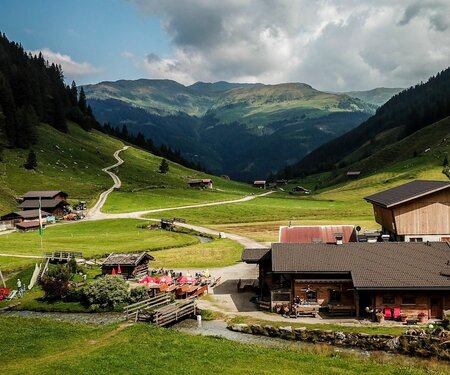
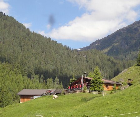
You can enjoy typical delicacies from the region at the numerous huts, mountain restaurants and snack stations.

Zell-Gerlos-Königsleiten hiking bus

Bus 4094 runs between Zell am Ziller - Gerlos - Königsleiten and Krimml. The hiking bus can be used free of charge between Zell am Ziller and Krimml in the period from 31.05.2025 to 26.10.2025 if you show your Zell-Gerlos TopCard (guest card).

Bus Icon

A mountain farm is not a petting zoo

Der Inhalt kann nicht angezeigt werden.
Bitte akzeptieren Sie die Cookies, um den Inhalt zu laden.