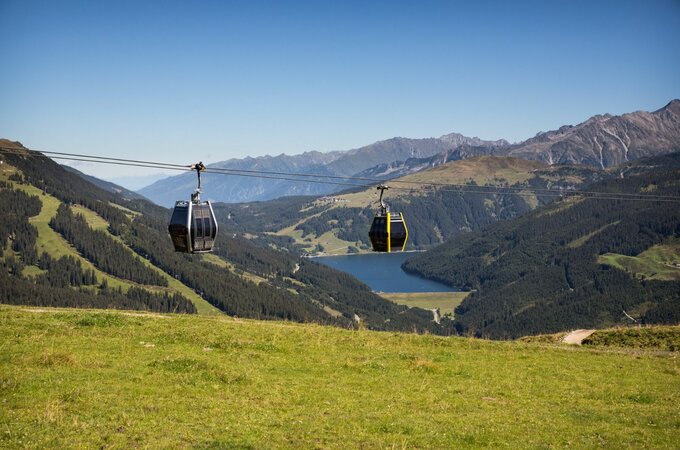
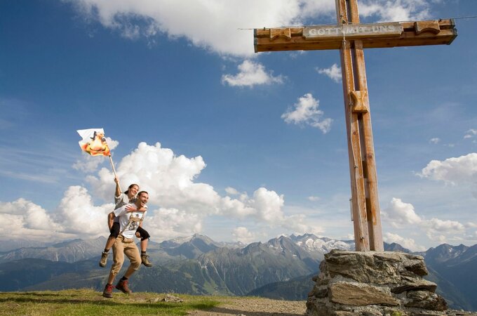
Take the canle car to the Isskogel mountain station. From there, the ascending, marked hiking trail No. 1 leads to the summit of the Isskogel (2,264 m). Then continue through rocky terrain and over a narrow ridge path to the Kreuzjoch summit cross (2,558m). The descent then begins via path no. 1 to the wild and romantic Langensee and the return path via the Wilde Krimmlalm. From here, hiking trail no. 2 leads through the rear Krummbachtal to the Krummbachrast snack station. After a short stop, we continue back to Gerlos in about 1 hour to the valley station of the Isskogelbahn.
Total walking time: approx. 7 hours (safety and fitness required)
Lade
Isskogel (2.263 m) - Kreuzjoch (2.558 m) - Krummbachtal
Overview
Walking time
07:00 h
Route Length
17 km
Difficulty
Hard
altitude meters uphill
693 hm
altitude meters downhill
1330 hm
highest point
2555 m
Stamina
Skills
Public transport
With the bus 4094 to Gerlos.
Exit point: Isskogelbahn
Parking
At the Isskogelbahn
Route Start
Isskogelbahn Bergstation
Route End
Kreuzjoch (2.558 m)


