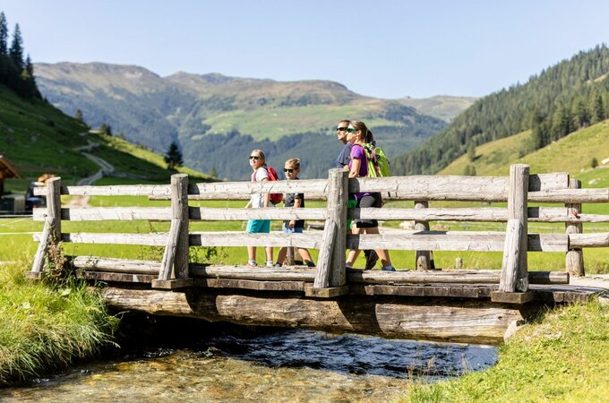
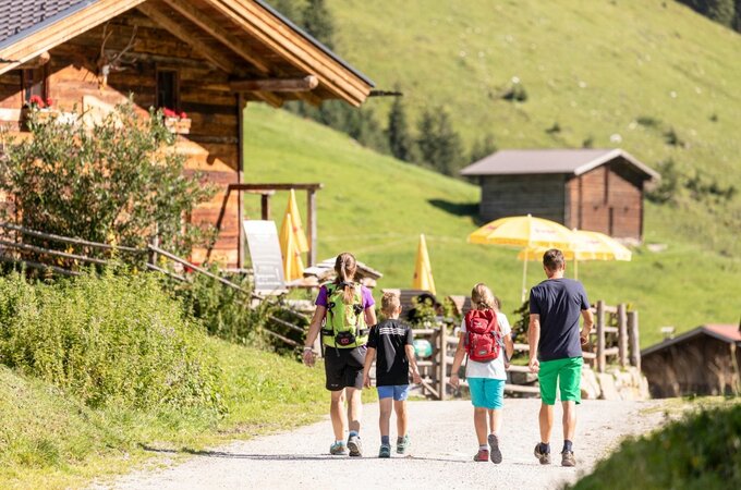
From the entrance to the Wimmertal, walk along the main road for a short distance until a narrow driveway branches off to the left. After a few meters you reach the path to the roller (1,945 m). Now begins an enjoyable forest hike on a steadily ascending path and you reach the summit in about 2.5 hours.
Return via the Wimmertal back to Gerlos-Gmünd.
Huts on the way: Wimmertalalm, Klemm's Jausenhütte
Lade
Roller (1.945 m) - Mitterjoch
Overview
Walking time
04:15 h
Time Uphill
02:30 h
Time downhill
01:45 h
Route Length
10.4 km
Difficulty
Middle
altitude meters uphill
724 hm
altitude meters downhill
724 hm
highest point
1926 m
Stamina
Skills
Route Start
Hotel Kröller
Route End
Roller (1.945 m)

