Rooms / Persons
1Room, 2Adults, 0Children

Krimml-Hochkrimml hiking region

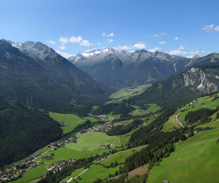
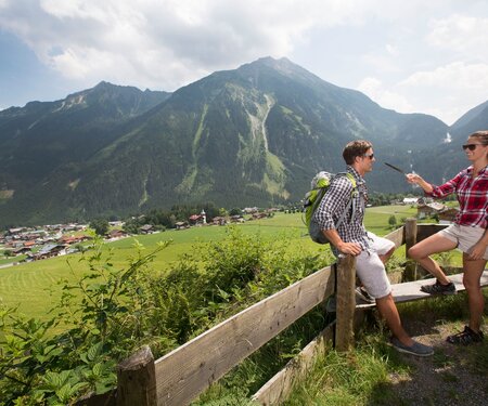
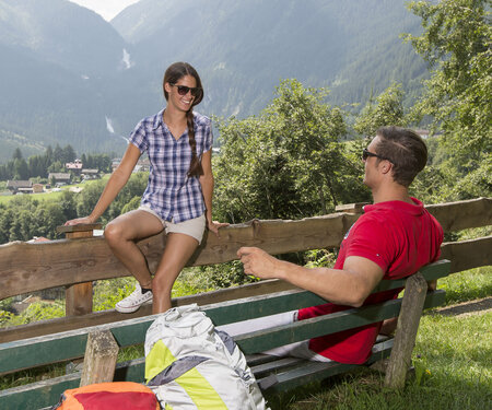
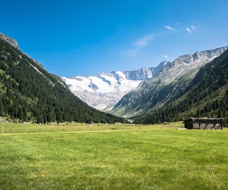
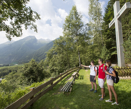
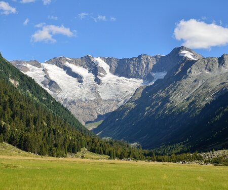
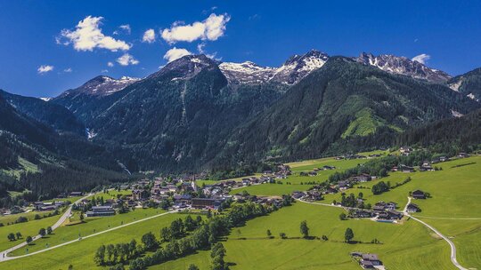
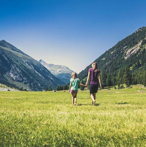
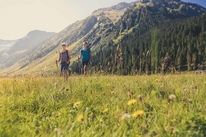
Spend your hiking holiday in Pinzgau in the heart of the Salzburg mountains. In the Krimmler Achental, a high valley in Hohe Tauern National Park, alpine farming has been practised since the Middle Ages. Discover the mountains of the Hohe Tauern on the many trails through the countryside.

Kilometres of hiking trails
70
Kilometres of
hiking trails
Themed trails
1
Themed
trails
Huts & mountain inns
17
Huts &
mountain inns

Summer holidays
for mountain enthusiasts

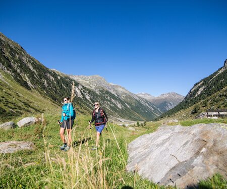
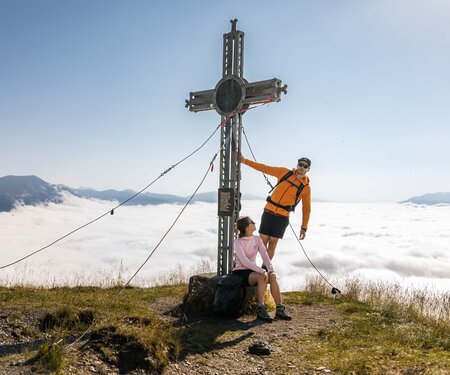
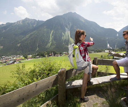
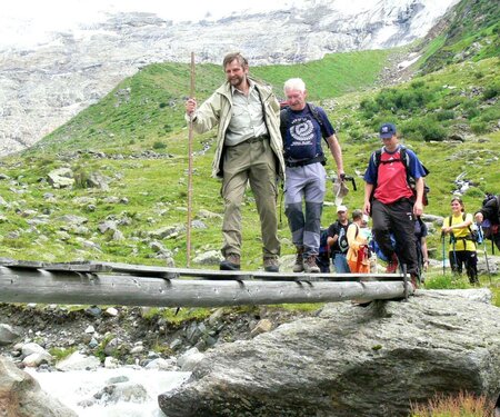
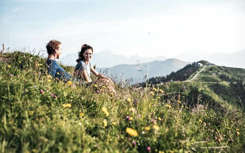
What could be better than exploring the unique and magnificent mountains of Pinzgau and of Zillertal on foot? Pack a hearty snack in your rucksack and put on your hiking boots: there are 400 km of hiking trails to explore. Discover the most beautiful and fascinating walking region in Oberpinzgau here in Krimml-Hochkrimml. Head out through Hohe Tauern National Park, ramble across alpine pastures or take adventurous mountain hikes. Escape from the stress of everyday life and reenergise in the crisp, fresh alpine air.

Select Filter
Filter
Starting Point
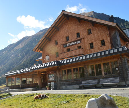
Krimmler Tauernhaus
End Point
Krimmler Tauernhaus
highest point
2665 m
Walking time
09:00 h
Route Length
24.16 km
altitude meters uphill
1459 hm
Difficulty
Hard
Starting Point
Gasthof Finkau
End Point
Zittauer Hütte
highest point
2330 m
Walking time
03:00 h
Route Length
6.82 km
altitude meters uphill
910 hm
Difficulty
Middle
Starting Point
Krimmler Tauernhaus
End Point
Krimmler Tauernhaus
highest point
2880 m
Walking time
22:30 h
Route Length
45.76 km
altitude meters uphill
3674 hm
Difficulty
Hard
Starting Point
Alpengasthof Filzstein
End Point
Familienhotel Finkau
highest point
1925 m
Walking time
04:00 h
Route Length
8.99 km
altitude meters uphill
450 hm
Difficulty
Middle
Starting Point
Zittauer Hütte
End Point
Krimmler Tauernhaus
highest point
2697 m
Walking time
07:30 h
Route Length
19.29 km
altitude meters uphill
1066 hm
Difficulty
Hard
Starting Point
Alpengasthof Finkau
End Point
Wildkarsee
highest point
2500 m
Walking time
03:30 h
Route Length
6.07 km
altitude meters uphill
1086 hm
Difficulty
Hard
Starting Point
Eintritt Krimmler Wasserfälle
End Point
Eintritt Krimmler Wasserfälle
highest point
1521 m
Walking time
02:30 h
Route Length
4.64 km
altitude meters uphill
503 hm
Difficulty
Middle
Starting Point
Krimmler Tauernhaus
End Point
Richter Hütte
highest point
2374 m
Walking time
02:30 h
Route Length
6.64 km
altitude meters uphill
743 hm
Difficulty
Hard
Starting Point
Eintritt Krimmler Wasserfälle
End Point
Warnsdorferhütte
highest point
2327 m
Walking time
06:40 h
Route Length
19.21 km
altitude meters uphill
1268 hm
Difficulty
Middle
Starting Point
Hochkrimml Filzstein
End Point
Hochkrimml Filzstein
highest point
2040 m
Walking time
03:00 h
Route Length
7.64 km
altitude meters uphill
399 hm
Difficulty
Middle

Hiking tips

Krimmler Tauernhaus - Warnsdorfer Hütte - Gamsspitzl

Krimmler Tauernhaus - Warnsdorfer Hütte - Gamsspitzl

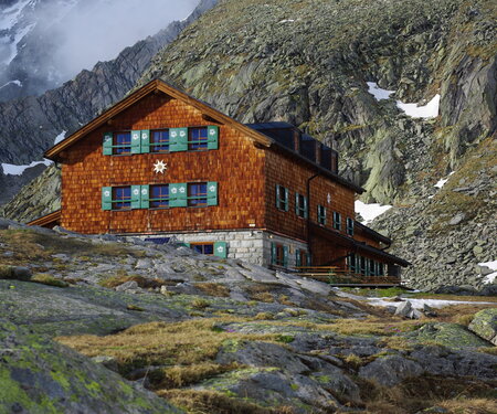
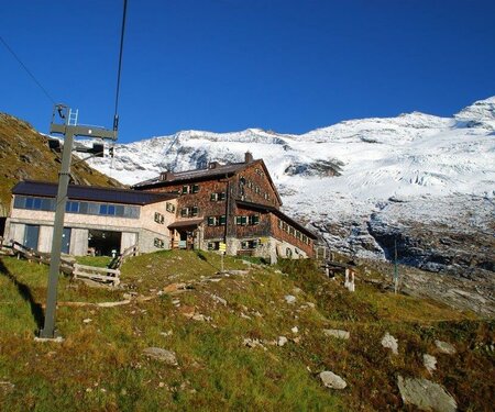
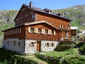
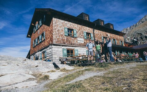
The ÖAV Warnsdorfer Hütte in the beautiful Krimmler Achental with a beautiful ice lake and local mountain Gamsspitzl.
Zittauer Hütte

Zittauer Hütte

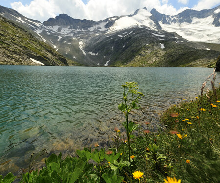
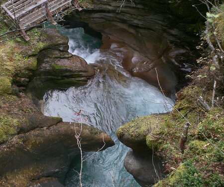
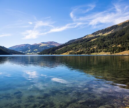
Via the Leitenkammerklamm natural monument with subsequent Wildgerlostal to the Zittauer Hütte with the beautiful Wildgerlossee.
Hohe Tauern Panorama Trail

Hohe Tauern Panorama Trail

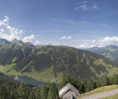
A panoramic hiking dream that has now come true in Salzburg’s Hohe Tauern National Park holiday region with the “Hohe Tauern Panorama Trail”.

Hiking stamp book

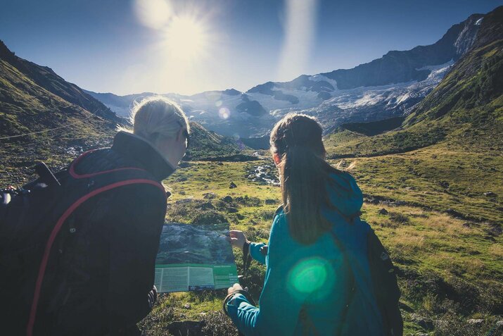
Destinations are scored by level of difficulty, with walks to them earning the corresponding number of points. Children aged 14 or under get extra points. All our destinations are intended to be accessed on foot. As “proof” of the hikes you have completed, stamp the hut or summit stamp on the pages provided in this hiking book. The hiking maps available from the tourist office show the relevant routes. 

Pick up your hiking book from the tourist office!

Hohe Tauern National Park

266 peaks over three thousand metres and 342 glaciers: nature is at the heart of life in the 20 towns and villages and 13 valleys in the Hohe Tauern National Park region. Discover the wonders and hidden treasures of the largest nature reserve in Central Europe on wonderful hikes and genuine adventures.

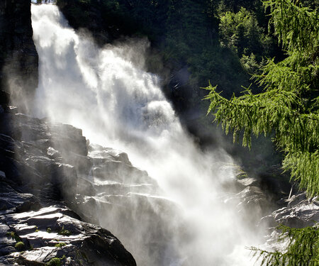
The mighty 3,798-metre Großglockner – the highest mountain in Austria – rises protectively over Hohe Tauern National Park. Feel the cold wind from Schmiedingerkee glacier on Salzburg’s highest viewing platform; experience the amazing Krimml Waterfalls, the largest in Europe, plunging hundreds of metres into the depths; visit the National Park Worlds exhibition and immerse yourself in ten different “worlds” at once.
Mountain farms & huts
in Krimml-Hochkrimml

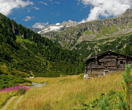
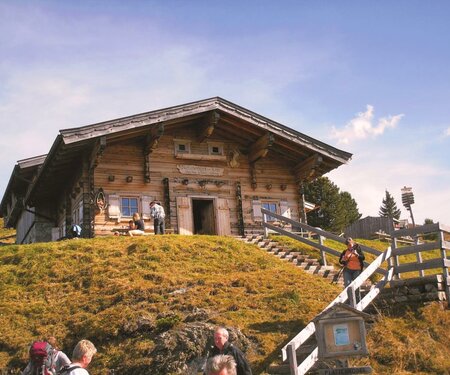
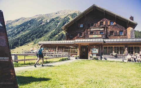
You can enjoy typical delicacies from the region at the numerous huts, mountain restaurants and snack stations.

Krimml-Hochkrimml hiking bus

The hiking bus runs between Wald-Krimml-Hochkrimml and Königsleiten and can be used free of charge if you show your guest card.

Non-binding accommodation enquiry

Are you looking for accommodation and would like advice from our specialists? Why not send us a non-binding enquiry. We will find the perfect dream accommodation for you for an unforgettable holiday.

Your newsletter

Sign up for our newsletter and receive the best tips about the Zillertal Arena, the latest offers, events and much more every month.

The content cannot be displayed.
Please accept the cookies to load the content.