2E Gernkogel Happingalm

Overview

Duration
10.62 km
Route Length
10.62 km
Difficulty
Middle
Roundtrip
No
altitude meters uphill
927 hm
altitude meters downhill
5 hm
highest point
1798 m
Route Start

Wald - Ortszentrum

Route End

Happingalm

Altitude Profile

Weather

weather today
Compact clouds with no sun
weather tomorrow
Sun, clouds, rain showers

Downloads

Description

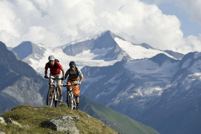
Biketour zum Aussichtsberg den Gernkogel

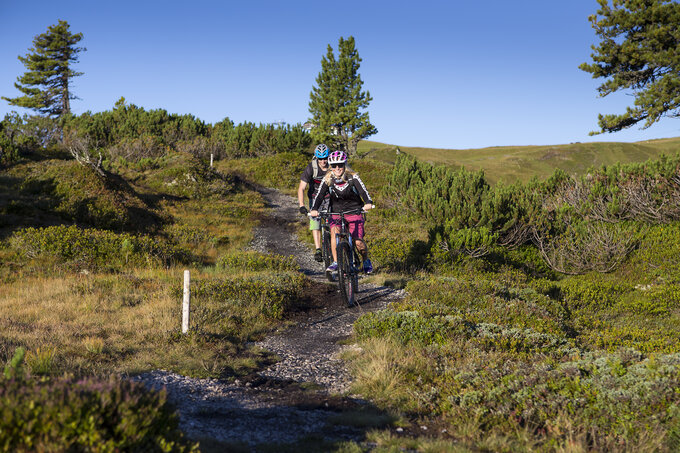
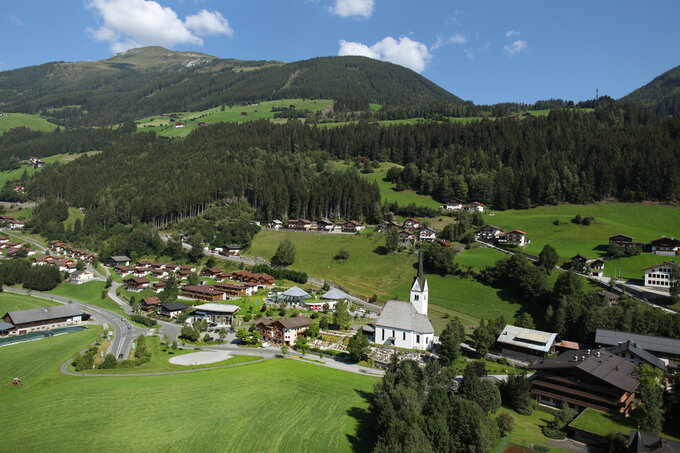
Im Walder Ortszentrum bei der Kirche auf die B 165 entlang der alten Gerlosstraße bis zur Brücke vorm Mühlbauer- rechts abbiegen - entlang des Güterweges bis Hoched. Weiterfahrt entlang des Forstweges zur Wurfalm und weiter zur Happingalm.

Zu Fuß wandert man noch ca. 1,5 Stunden zum Gipfel des Gernkogels.

Your newsletter

Sign up for our newsletter and receive the best tips about the Zillertal Arena, the latest offers, events and much more every month.

The content cannot be displayed.
Please accept the cookies to load the content.