Hike to the Plattenkogel

Overview

Walking time
02:23 h
Route Length
6.95 km
Difficulty
Middle
altitude meters uphill
535 hm
altitude meters downhill
63 hm
highest point
2038 m
Route Start

Königsleiten village entrance

Route End

Plattenkogel

Altitude Profile

Weather

weather today
10° Sun without a cloud
weather tomorrow
Sun without a cloud

Description

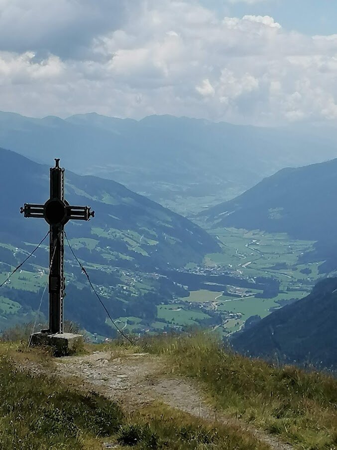
Magnificent view at the Plattenkogel
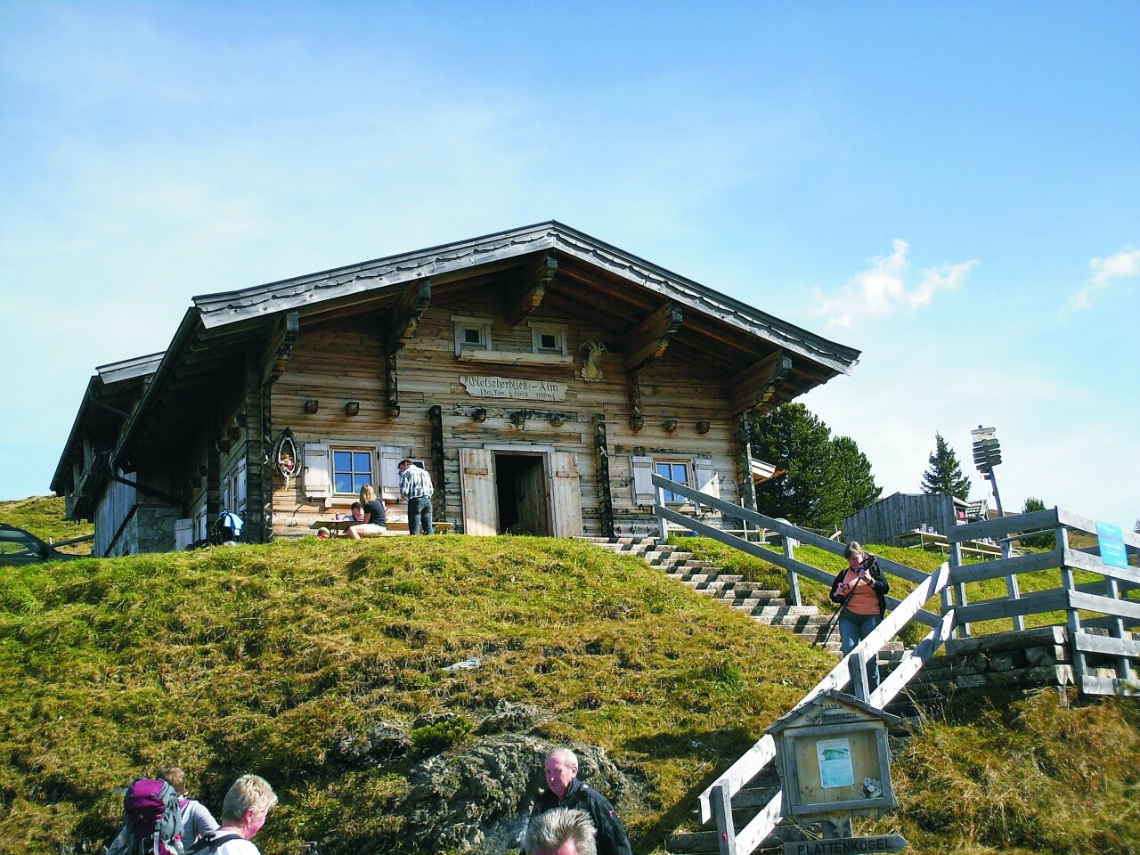
From Königsleiten along the planet trail to the Gerlosplatte junction – to the road – 50 m to the right – path to the left – continue uphill to the Plattenalm – at the Plattenalm continue left to the Gletscherblickalm – continue to the Plattenkogel
Der Inhalt kann nicht angezeigt werden.
Bitte akzeptieren Sie die Cookies, um den Inhalt zu laden.