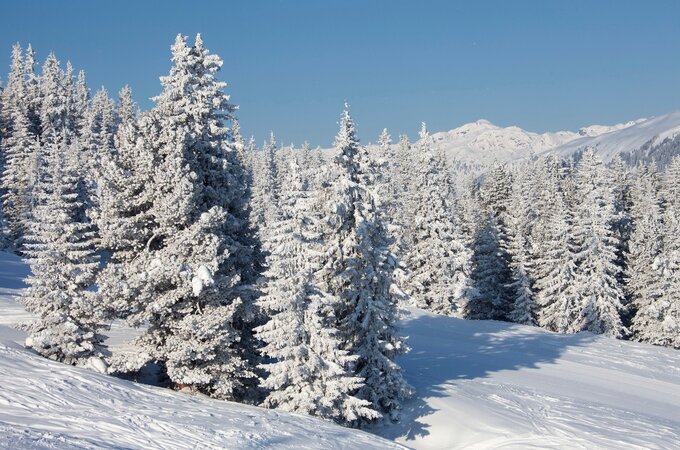
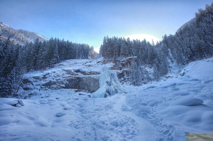
Near the Krimml Waterfalls, the Krimml Achenwaldweg begins and leads (except for a short section) with little elevation change towards the forest in Pzg.
Lade
Achenwaldweg Krimml
Overview
Walking time
01:00 h
Route Length
3.65 km
altitude meters uphill
10 hm
altitude meters downhill
140 hm
highest point
1060 m
Route Start
Near Krimml Waterfalls
Route End
Bräuern Bridge
Altitude Profile
Weather
Sign up for the newsletter now!
register

