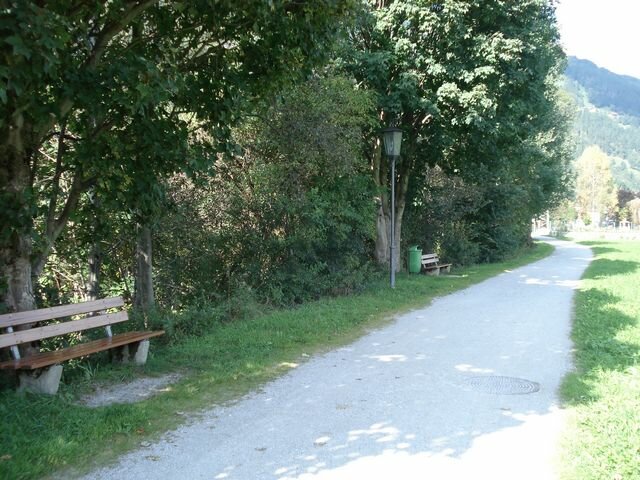
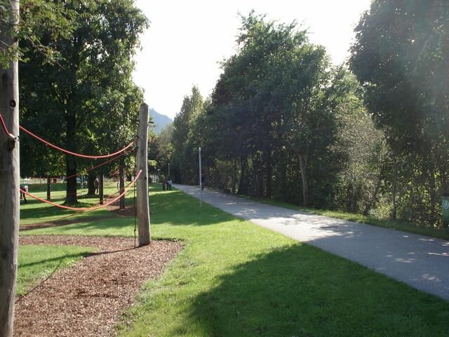
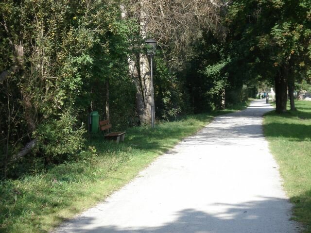
Route profil: Circular route on flat, wide paths around the village of Zell following the course of the twho main streams
Surface conditions: gravel tracks, asphalt
Route: Starting at the Freizeitpark Zell (leisure park), the route takes you northwards along the edge of the Ziller (river) to where the Gerlosbach stream joins the river. Follow the Gerlosbach upstream to Kaiserstadt and then continue in a southerly direction to the underpass and on to the Tannerhof where you can cross the fields and meadows back to the Ziller and to the starting point.
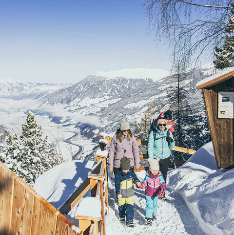
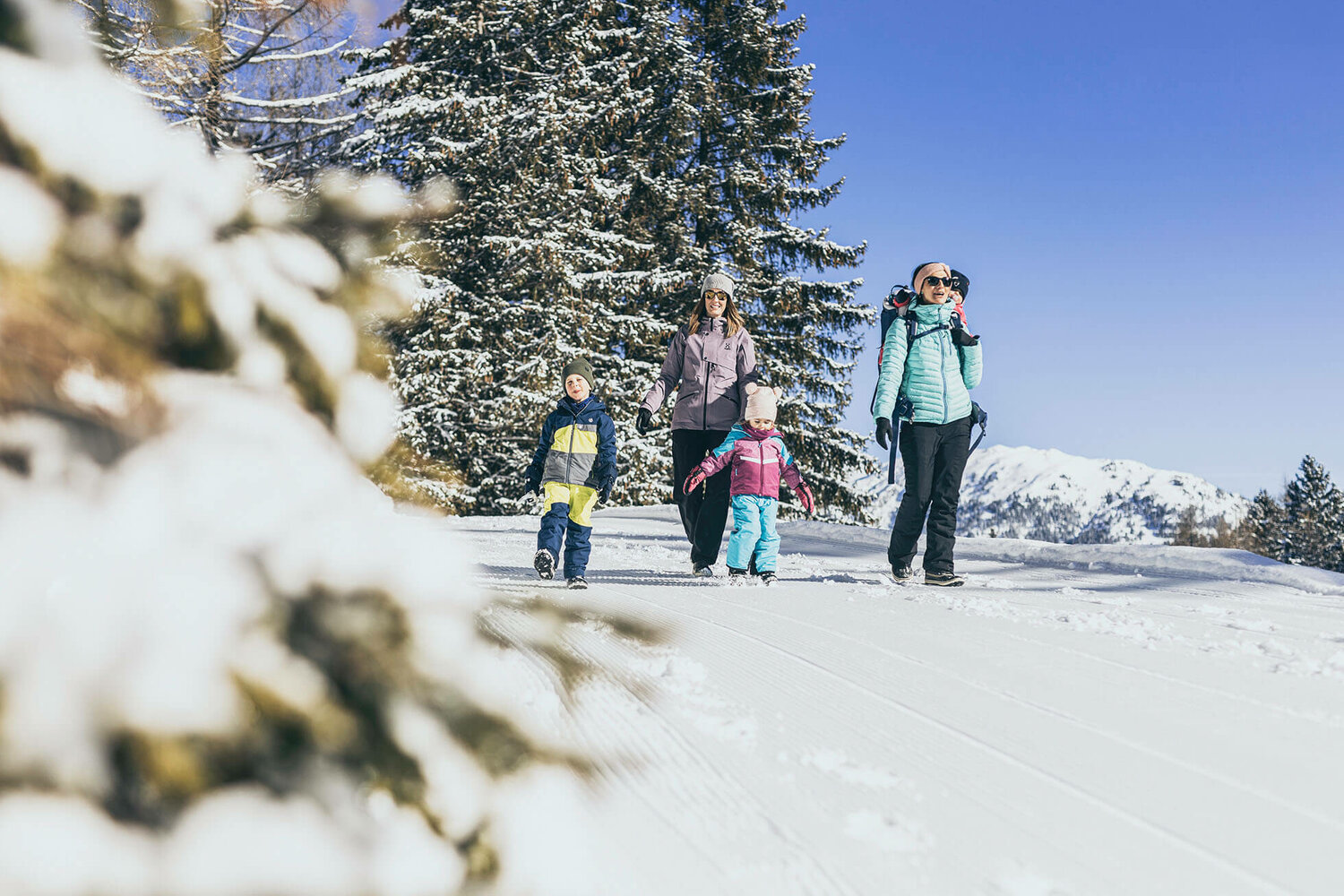
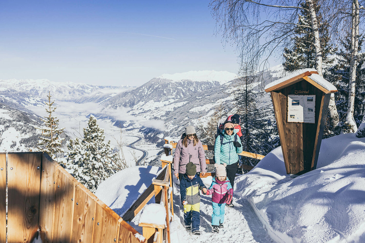
Zell am Ziller winter hiking
Promenade run

Description
Circular route on flat, wide paths around the village of Zell following the course of the two main streams

Zell am Ziller off-piste overview map
![[Translate to EN:] Winterwandern Zell](/fileadmin/userdaten/bilder/panorama-plaene/Panorama-Winterwandern-Langlaufen-Zell.jpg)
Instructions: Zoom and move the picture with the mouse